Air support environment
Aviation Sans Frontières has been working since 2009 in the field of aviation for the sustainable management of natural resources.
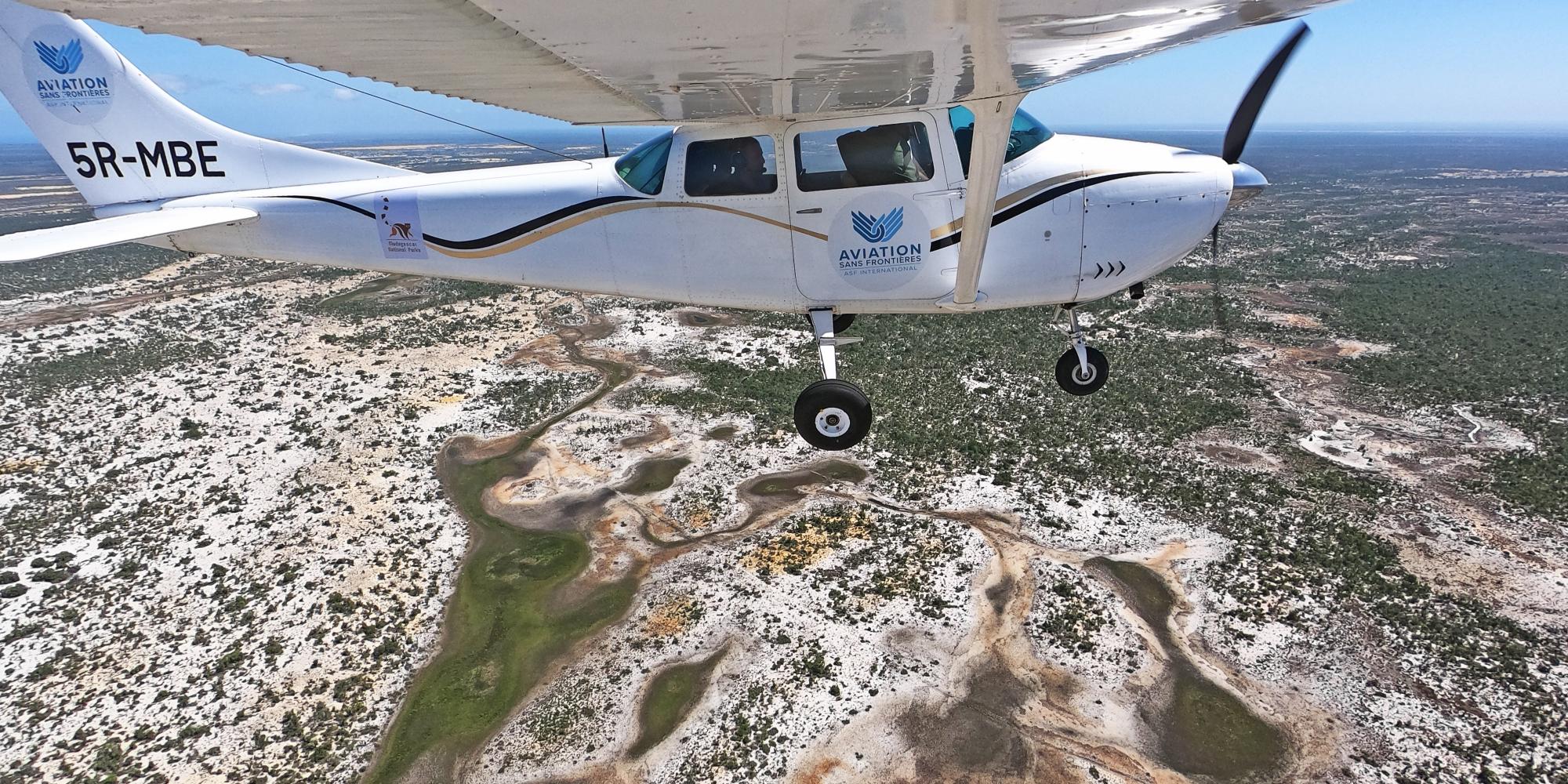
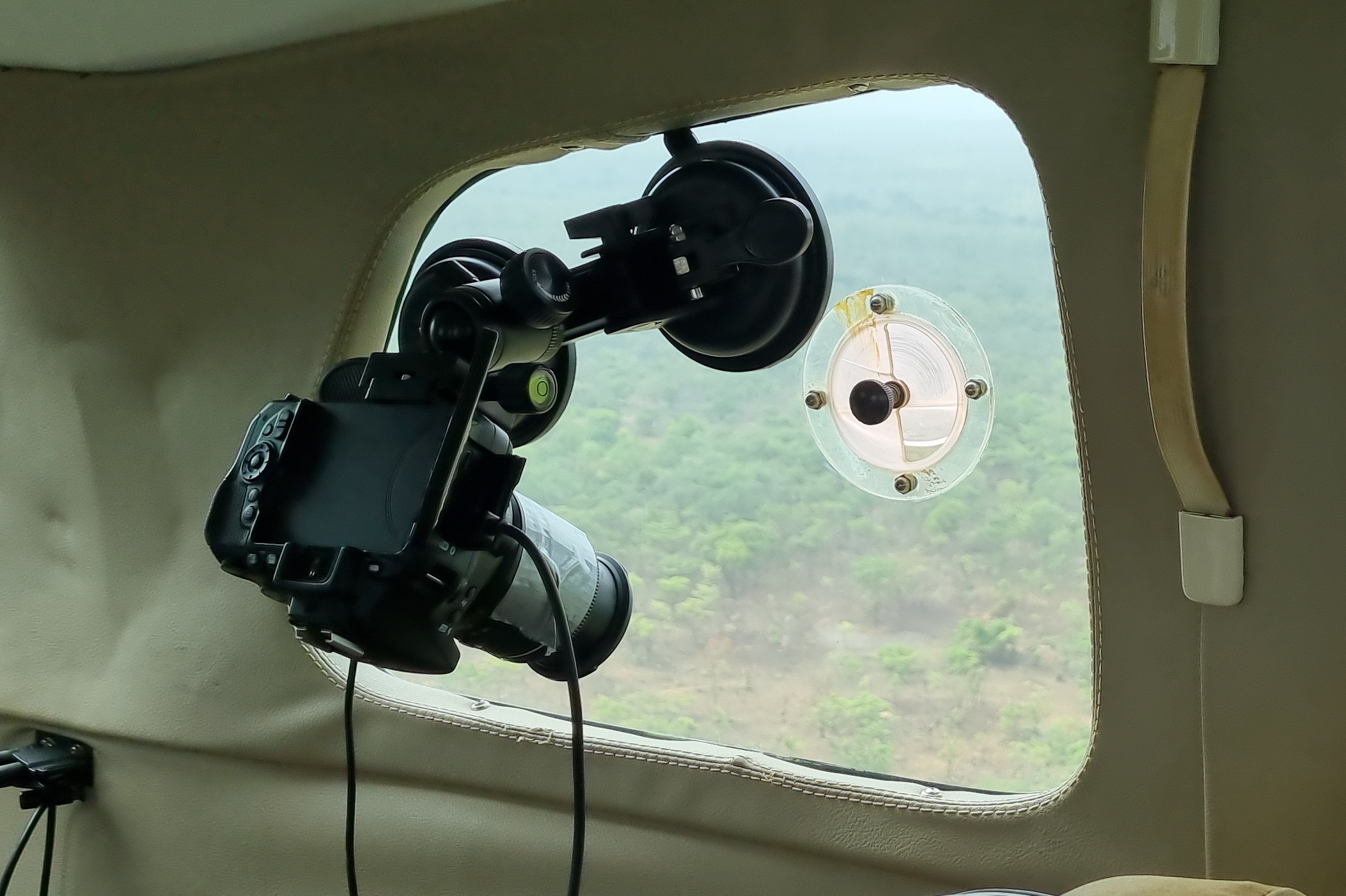
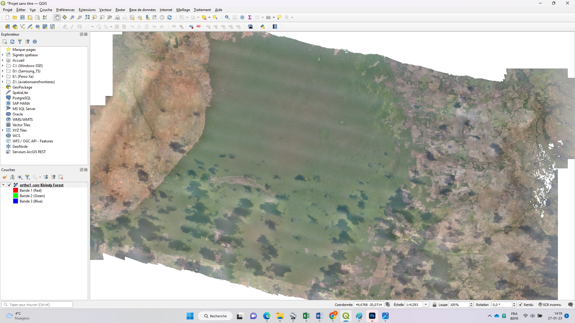
We can meet your needs in terms of mapping, ecological monitoring or aerial inventories of animal species. To do this, we use, in combination or in parallel, aerial photography by plane or drone and satellite image analyses, for optimal cost-effectiveness, while ensuring compliance with safety rules and the legal framework in force.
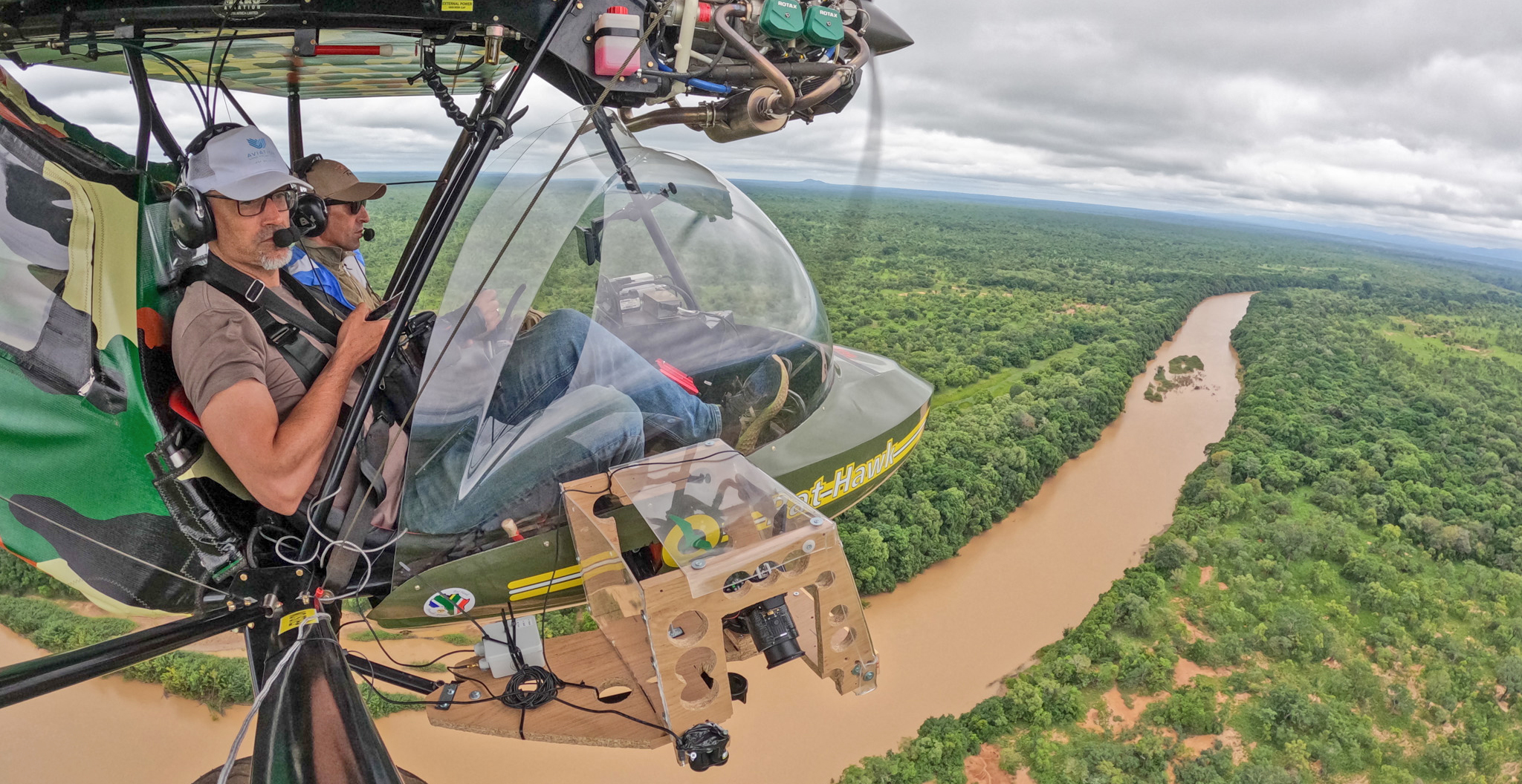
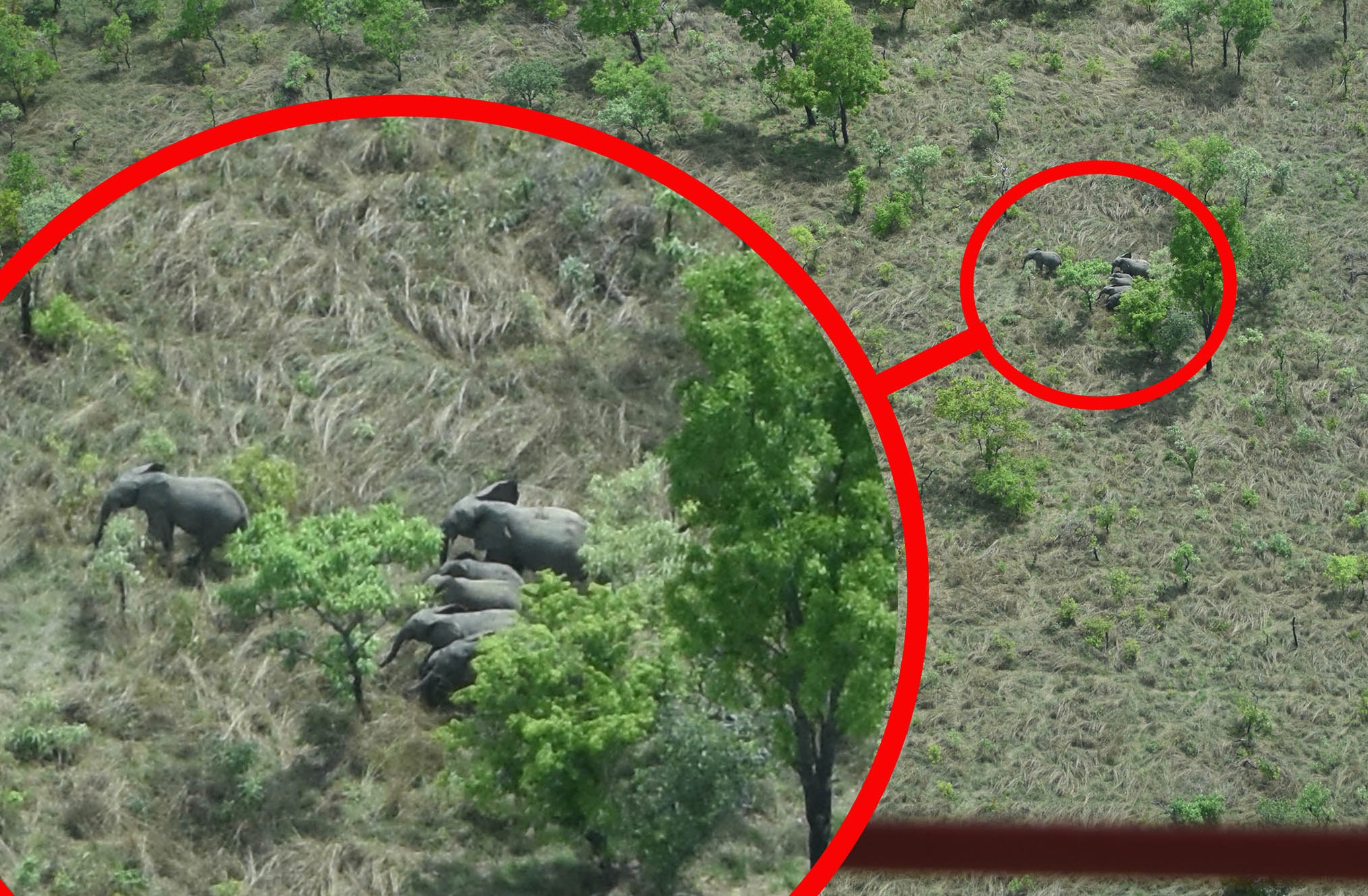
We organize and carry out aerial surveys of fauna by applying CITES MIKE Programme standards.

Aviation Sans Frontières works in close collaboration with the University of Liège, Gembloux Agro-Bio Tech and the Airbus Foundation.
We work especially with Gembloux Agro-Bio Tech on automating aerial surveys, using photography and artificial intelligence. The challenge is to increase the precision of aerial surveys while reducing their cost.
We ensure the flight order of aircraft, in compliance with national legislation, pilot training, the establishment of aerodromes or aerial wildlife inventories.
We are responsible for evaluating airlines for aircraft leasing needs.
We develop the aviation aspect of your project with you, in order to best meet your needs.
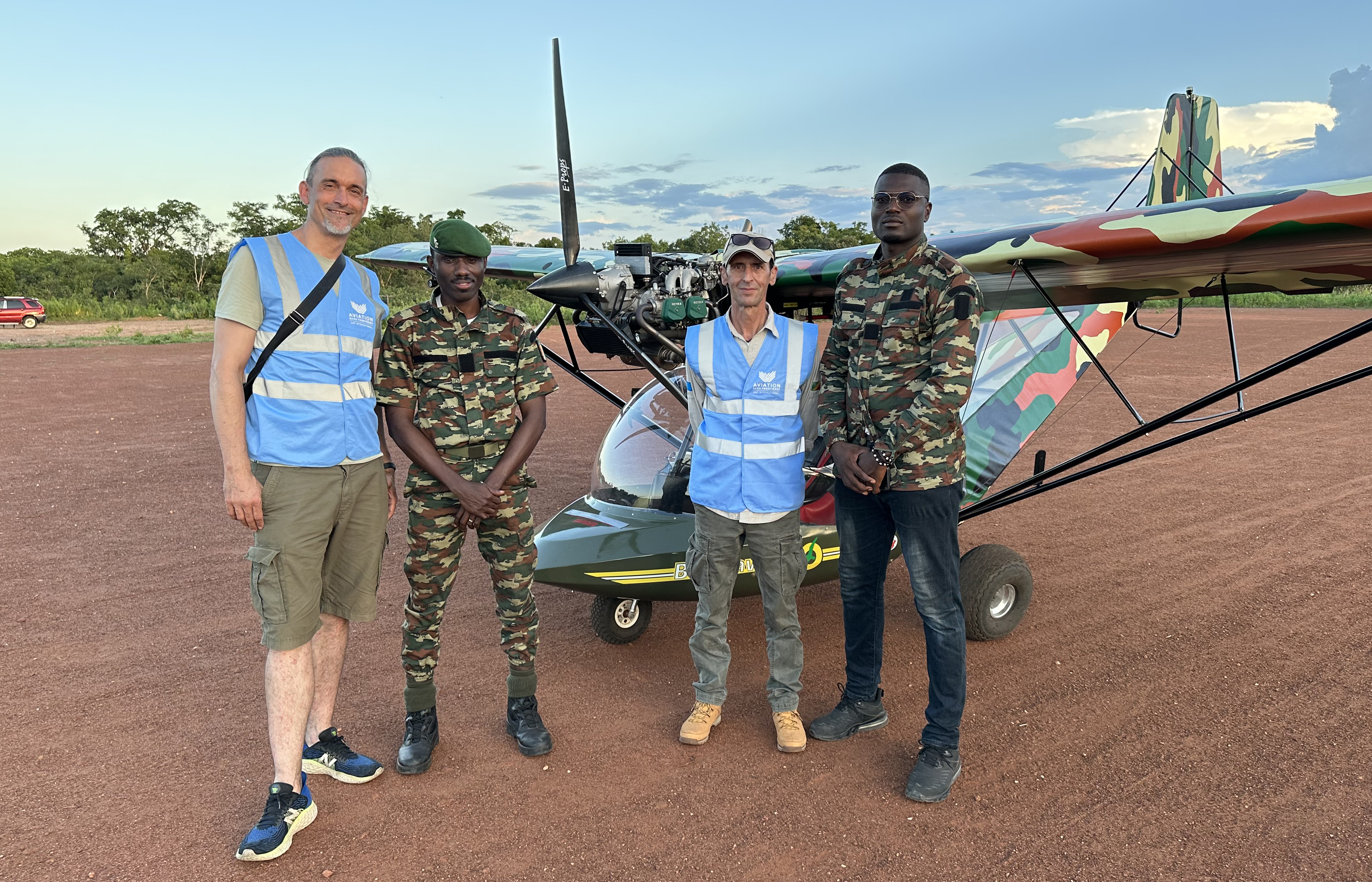
As part of the Comoé National Park Biodiversity Protection Project, we support the Ivorian Office of Parks and Reserves (OIPR) for the aerial aspects of the management of the National Park. We provide our expertise in the use of aircraft, ultra-light motorized aircraft and drones, for patrols and ecological monitoring. We are involved in particular in putting aircraft in flight order, in compliance with national legislation, pilot training, the establishment of aerodromes or aerial wildlife inventories.