Conservation From the Sky
Having an objective understanding of the health status of a protected area—its vegetation, wildlife populations, and the human pressures affecting it—is essential to guide management decisions.
The Conservation From the Sky programme uses aerospace technologies—drones, ultralight aircraft (ULM), light airplanes, and satellite imagery—to improve the management of protected areas, primarily in Africa. Created in 2009 within Aviation Sans Frontières Belgium, the programme joined the Pairi Daiza Foundation in 2025, as part of the collaboration between the two organizations.
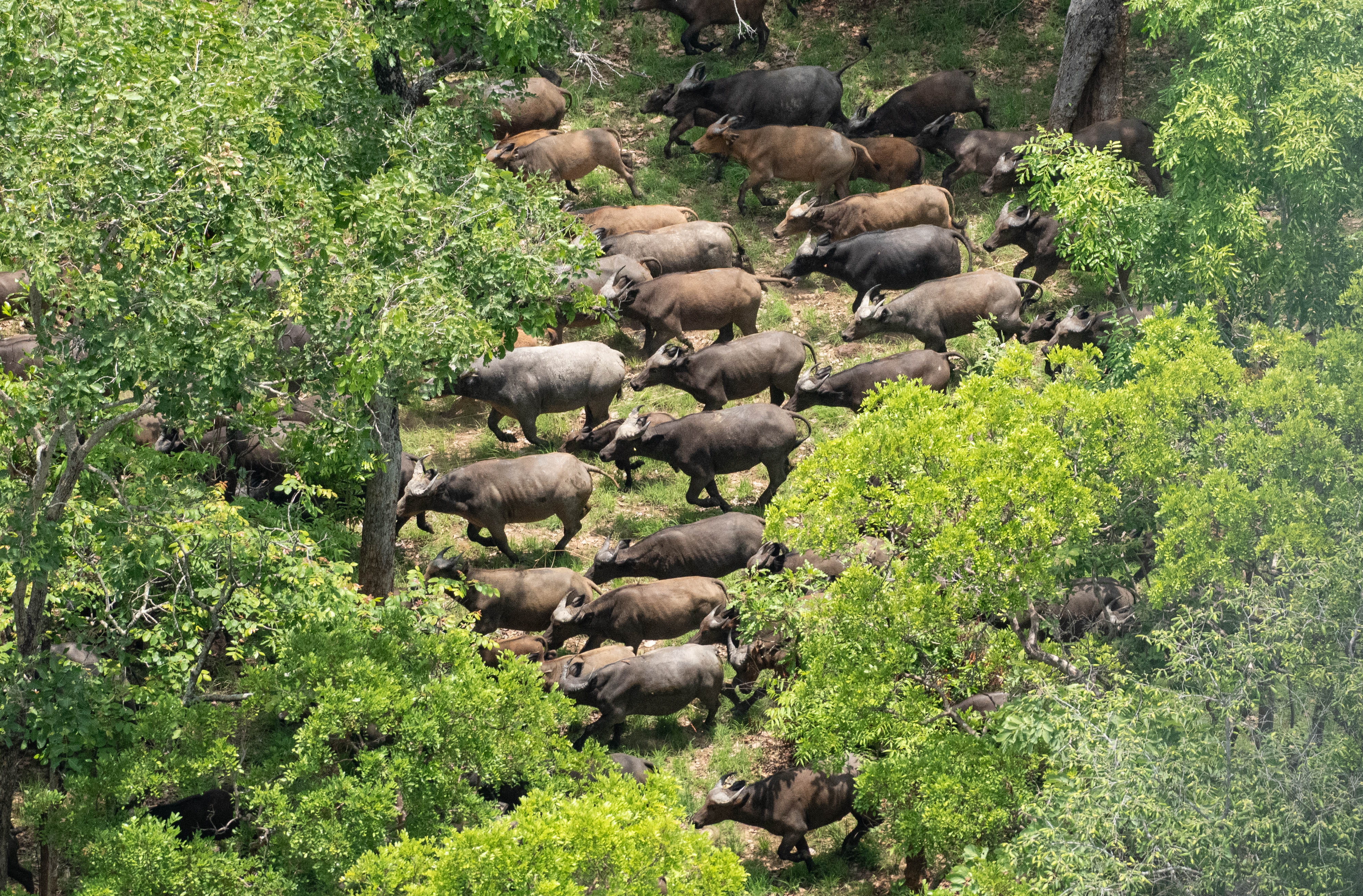
To meet these needs for diagnosing the health status of protected areas, the Conservation From the Sky programme conducts, for example, vegetation type mapping, deforestation monitoring, and is particularly engaged in aerial surveys of wildlife and anthropogenic pressures.
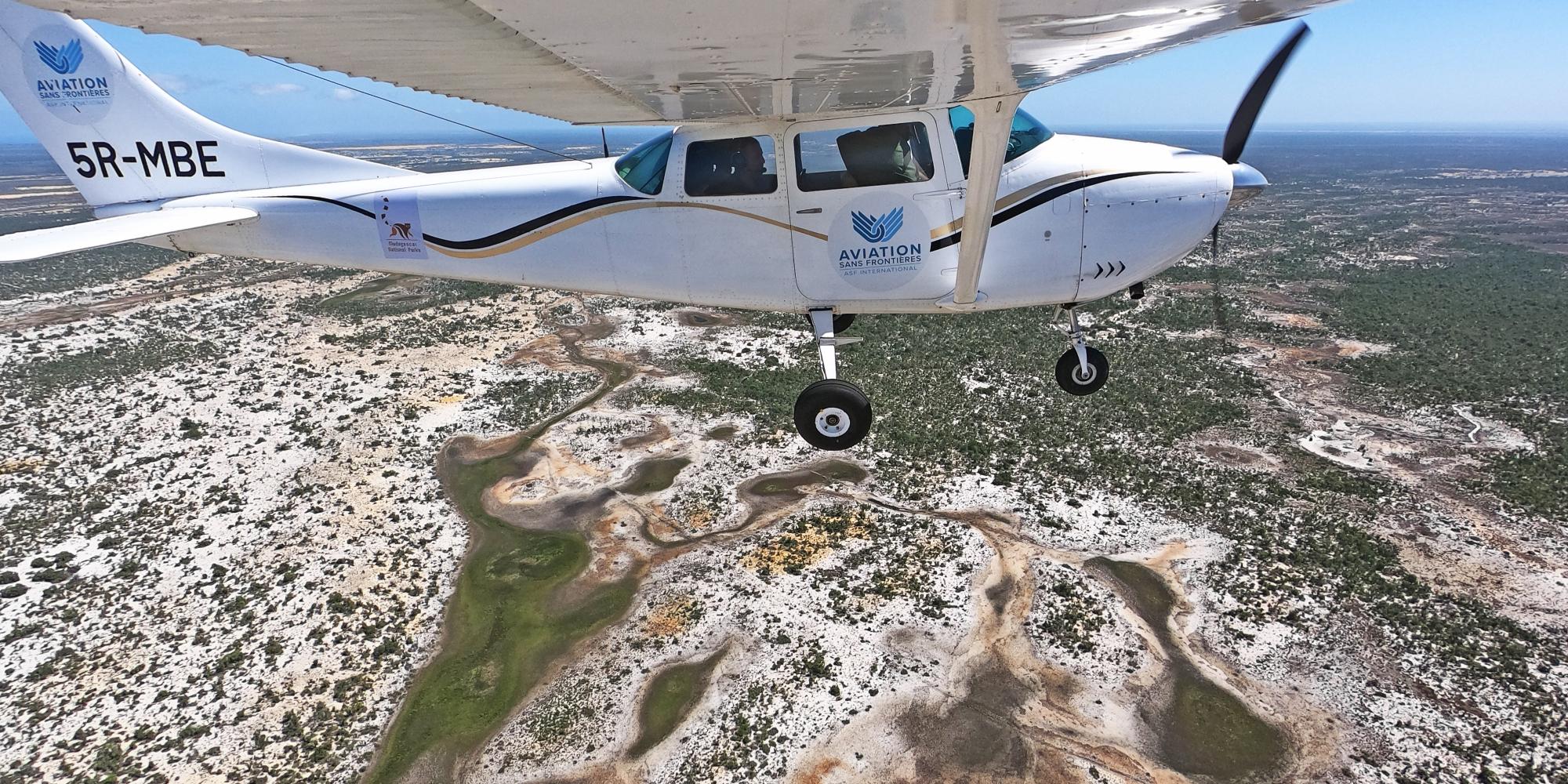
The programme’s expertise focuses especially on AI-assisted photographic aerial surveys of wildlife and human pressures using ultralight aircraft (ULM). The programme benefits from strategic support from the University of Liège – Gembloux Agro-Bio Tech for artificial intelligence and satellite image analysis, and from the Airbus Foundation for the valorisation of imagery from the SPOT, Pléiades, and Pléiades Neo satellites.
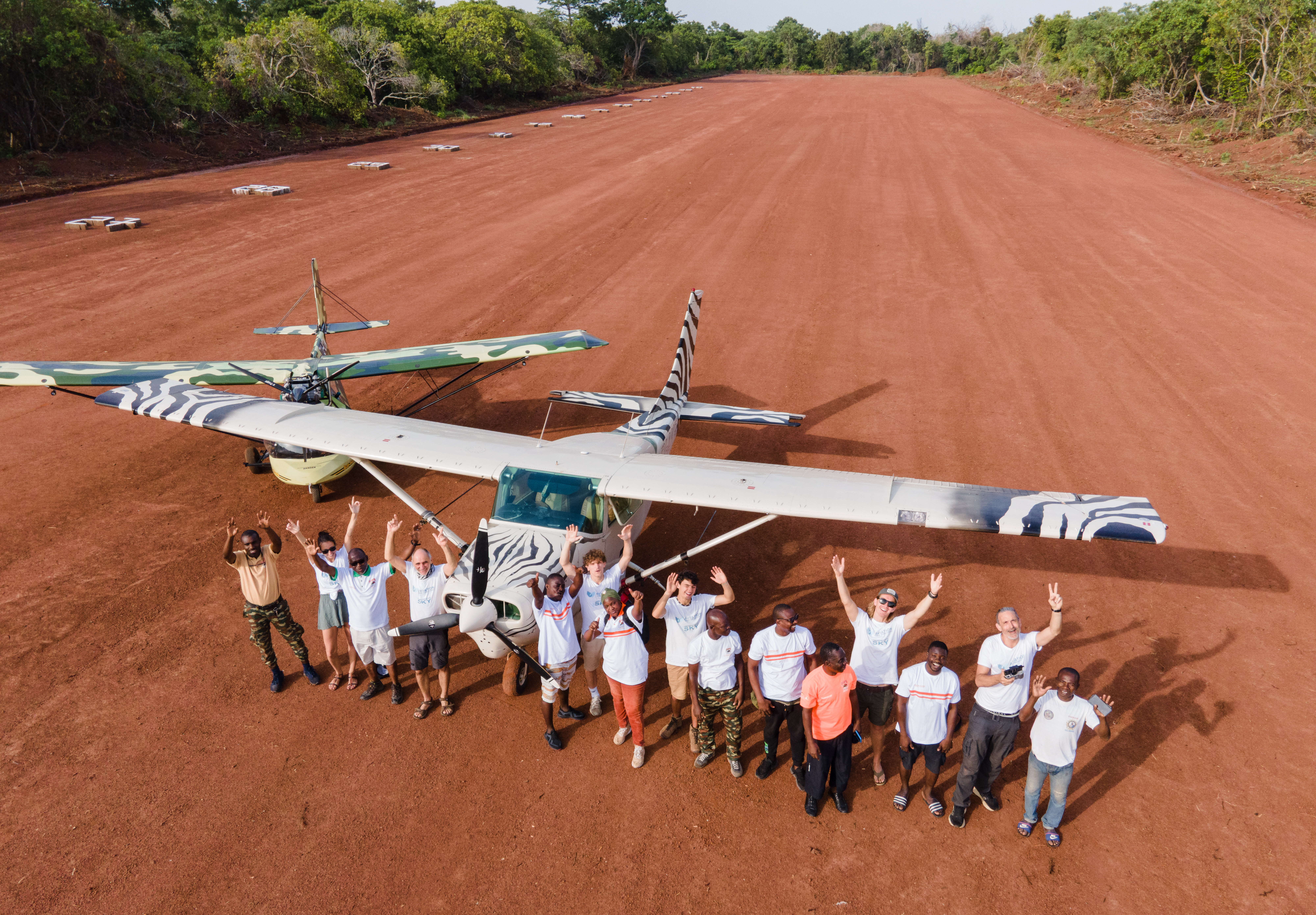
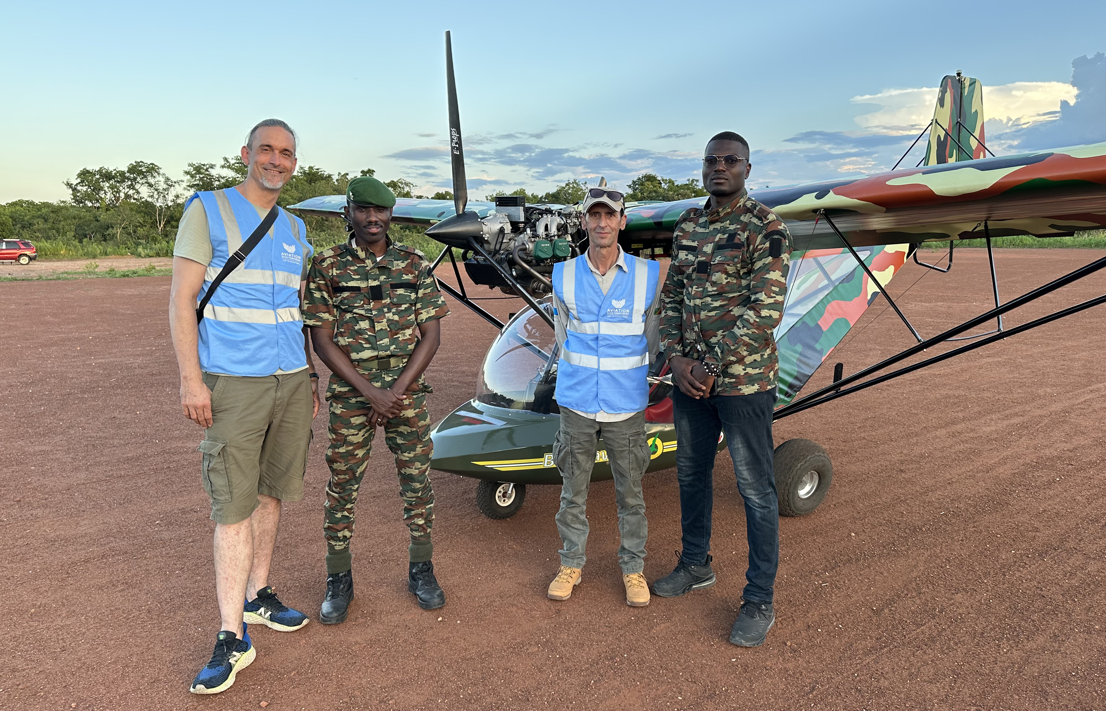
The Conservation From the Sky programme supports the organization of aircraft flight operations in compliance with national regulations, pilot training, the establishment of airstrips, and aerial wildlife surveys. We also assess aviation companies for aircraft leasing needs. Together with you, we design the aviation component of your project to best meet your operational requirements.