Madagascar : Aerial photographic survey and satellite image analysis of Midongy du Sud National Park and its surrounding area

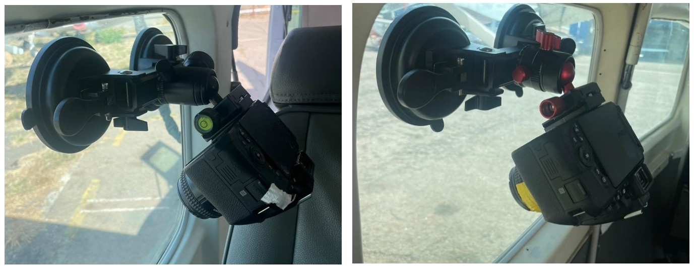
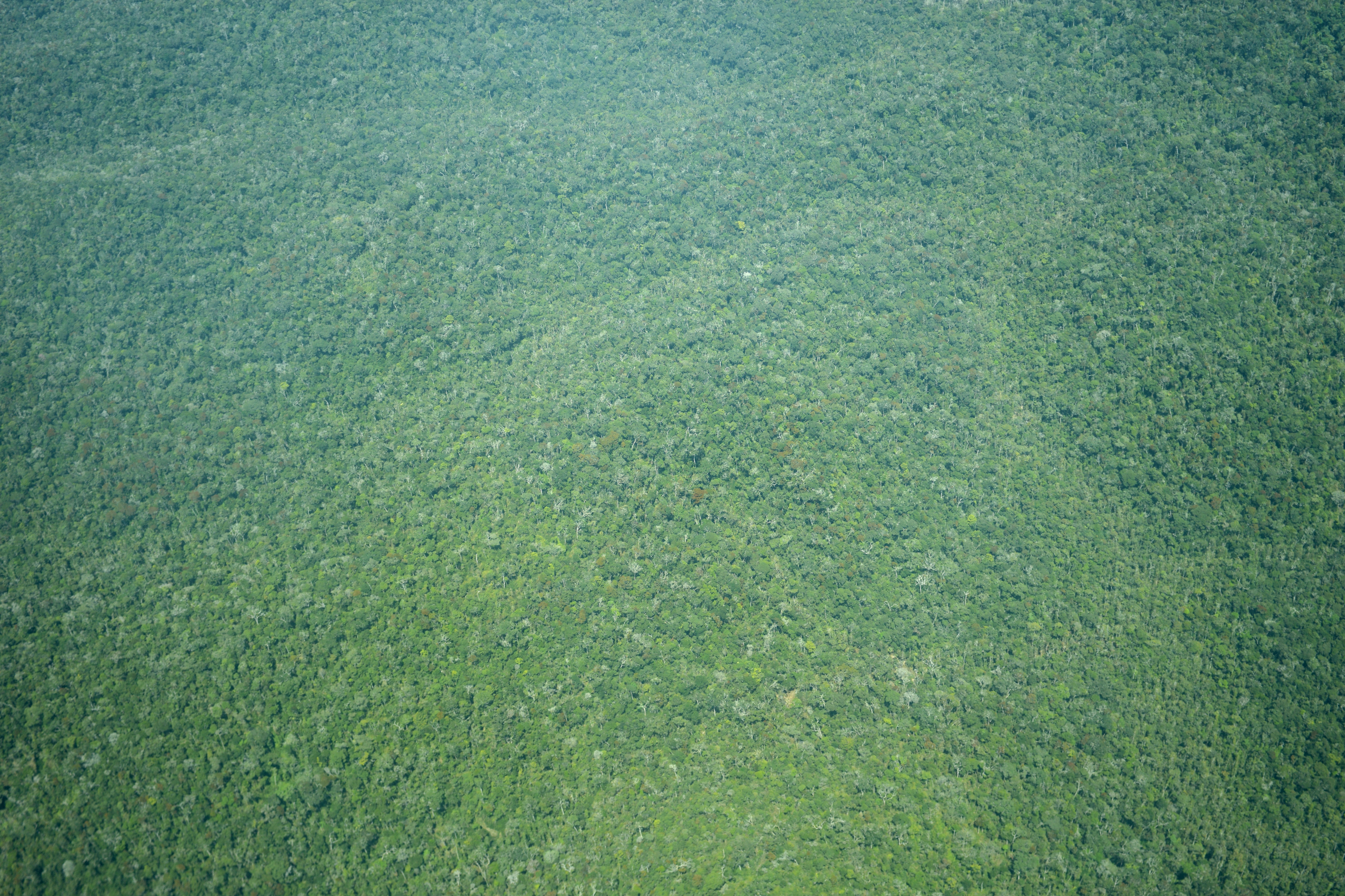
At the request of Madagascar National Parks and Dorsch Impact, the "Conservation from the Sky" program of Aviation Sans Frontières Belgium carried out an aerial photographic survey of Midongy du Sud National Park in order to produce detailed thematic mapping based on satellite imagery. The overflight of the Park and its surrounding area in a Cessna 208 made it possible to collect a sample of very high spatial resolution aerial photographs (approximately 5 cm), representative of land use and land cover.
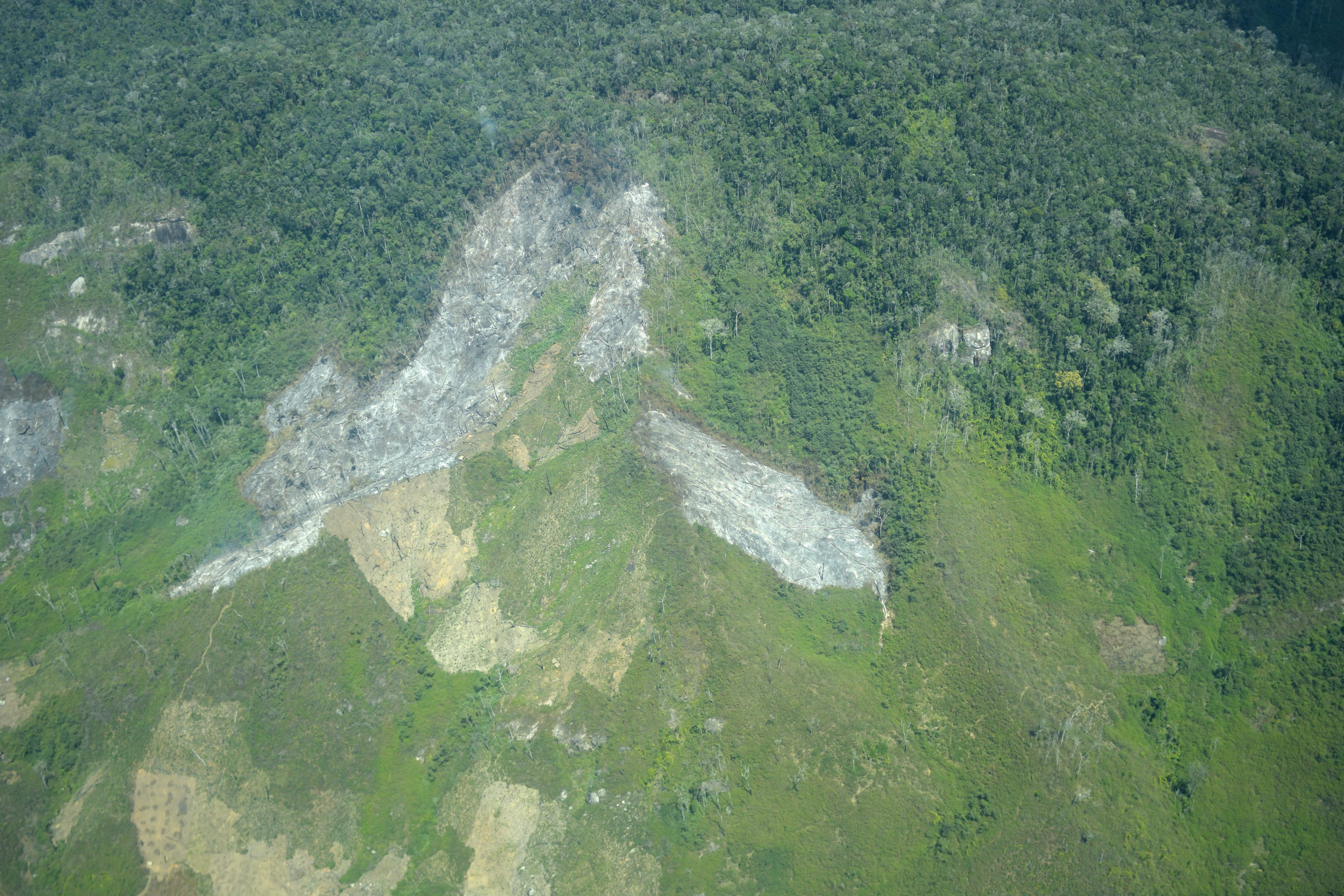
These images were then used to guide the supervised classification of a high spatial resolution SPOT6 satellite image (1.5 m), provided by the Airbus Foundation, covering the Park and 3 km of its surrounding area. For the analyses, the Conservation From the Sky program was supported by the University of Liège Gembloux Agro-Bio Tech. The objective was to accurately distinguish areas of intact forest, degraded surfaces, and sites recently impacted by slash-and-burn agriculture.
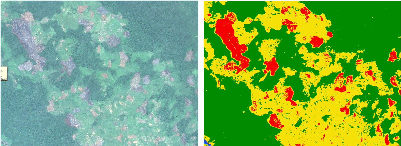
This service aims to provide park managers with an operational map, enabling them to more effectively target their conservation efforts. It contributes to strengthening the protection of primary forests, benefiting the local communities around the Park.